This Sunday, Mr Andrew Clark and myself set ourselves the task of sumitting Slieveanorra, navigating the valley of the Glendunn river and various bits and bobs of the Antrim Hills.
The weather in start contrast to last week was abysmal, misty cloudy and wet .. very wet but this is Norn Iron so am I surprised ? … No not really 🙂
The Route
The starting point is on the scenic route signposted from Magherhoney to Cushendun, on the Altarichard Road, if travelling from Magherhoney pass the picnic site on your left and another 1.5 miles later you will come with a forest road on the right and a few yards later a forest road to the left and a small stone bridge a few yards further on. There is a small space that will allow you to park without blocking the forest road on the right.
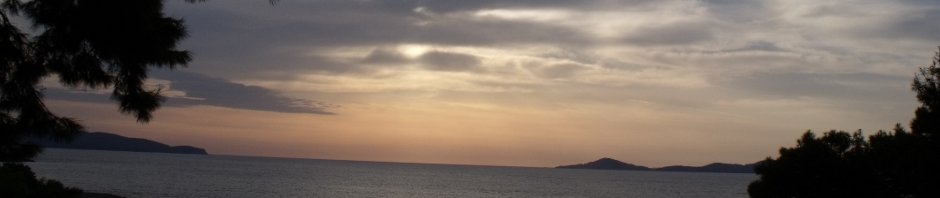
Park up and get your self sorted then start up the forest road and follow it all the way up to the top of Slieveanorra with it’s two ugly (but essential) masts. On a good day you can see a good 100 miles in each direction … today we were in the clouds so could barely see a foot in front of us.
Go past the masts and at the first bend in the track there is a Moyle Way waypost pointing to the right, follow this and you will come to the top of a wide twin furrowed path. Follow this path all the down into the valley, it is brave and soggy going at times. Then through the forrest until you come to a track running left to right. There is a path directly infront of you, ignore it and turn left and walk half a mile up the track until you see another Moyle Way waypost pointing to the right, follow this track down through the forrest to the road. Turn left walk about 800 yards up the road until the forest on the right ends and you see the small river flow down through the valley.
Walk down and cross the river and follow it’s course down the valley, it is quite stunning and a bit midgey, so an application of your preferred “jungle juice” is probably a good idea there were also a fair few “Cleggs” and “Ticks” in evidence so arces of bare skin are not a good idea either. About half way down you will come across a ruined farmhouse and beside the river are loads of what appear to be “Lazy beds” a sure sign this now relatively remote area was once the site of more organised cultivation. Further down on the other bank is an old lime kiln, which is rather out of context for the glen but kinda makes sense when you think of the acid bog water running in the river and the peaty nature of the soil.
Eventually you will come to a road which runs over the river, climb up to the bridge and turn left and follow the road up for 100m and you will find the much nicer Bryvore bridge which is a lovely place to stop for a coffee and a sarnie, if it isnt raining.
We had planned to continue on up into the Slieveanorra forest at this point but as it was lashing down we took the cowards way out and scampered the 2 miles up the road to the car and called it a day. .. Total distance 7.5 miles which is under my “10 miles on a Sunday” target but it was very very wet 🙂
So where to next week?
Here are some piccies of the walk you can find the rest here

The Summit

The Glendunn River

The Glendunn River
 Steve's Email
 Steve's Twitter
 Comment RSS